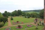
Hughenden Manor
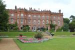
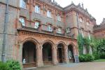
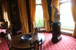
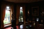
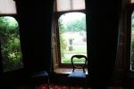
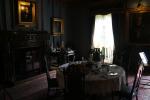
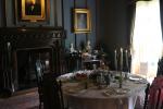
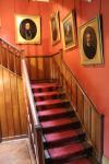
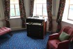
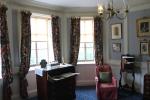
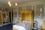
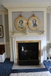
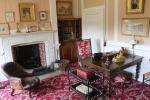
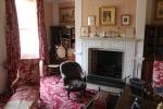
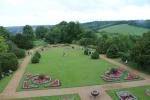
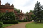
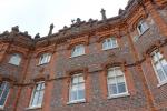
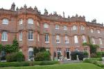
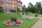
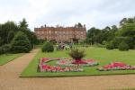
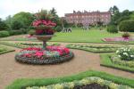
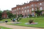
Hughenden Manor is a red brick Victorian mansion, located in High Wycombe, Buckinghamshire, England. In the 19th century, it was the country house of the Prime Minister, Benjamin Disraeli, 1st Earl of Beaconsfield between 1848 and 1881. The rooms on the ground and first floor reconstruct how the house had looked like when Disraeli lived and worked here during parliament recess days.
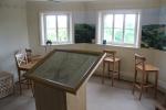
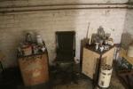
During the Second World War, Hughenden Manor was used as a secret intelligence base code-named "Hillside". The UK Air Ministry staff at the manor analysed aerial photography of Germany and created maps for bombing missions. Remains of this can be seen in the basement.
The twenty closest neighbours in the database:
Waddesdon Manor (25 km), St Albans (United Kingdom) (31 km), Oxford (United Kingdom) (36 km), Hatfield House (40 km), Hampton Court Palace (40 km), Churchill Museum and Cabinet War Rooms (46 km), Blenheim Palace (47 km), London (United Kingdom) (47 km), Tower of London (50 km), Winchester (United Kingdom) (76 km), Audley End House (79 km), Cambridge (United Kingdom) (86 km), Stratford-upon-Avon (United Kingdom) (89 km), Arundel Castle (89 km), Warwick Castle (90 km), Fishbourne Roman Palace (91 km), Stonehenge (91 km), Portsmouth (United Kingdom) (95 km), Brighton (United Kingdom) (102 km), Leeds Castle (106 km)