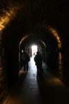
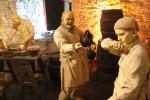
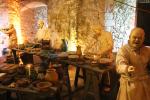
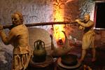
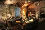
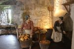
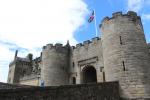
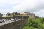
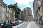
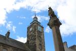
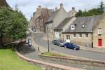
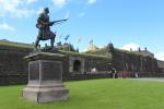
Stirling Castle
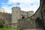
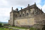
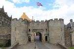
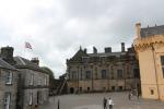
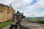
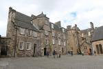
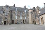
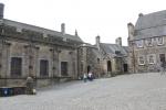
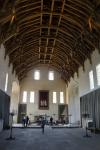
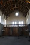
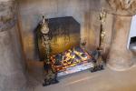
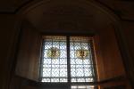
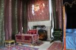
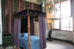
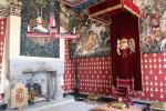
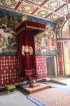
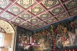
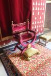
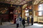
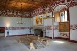
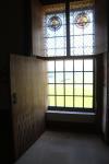
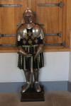
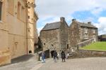
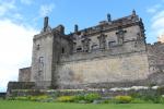
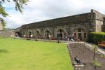
Stirling Castle, located in Stirling, is one of the largest and most important castles, both historically and architecturally, in Scotland.
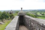
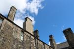
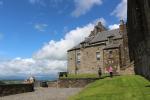
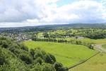
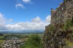
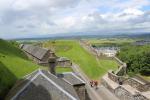
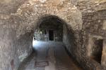
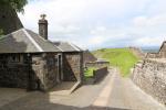
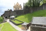
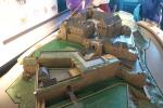
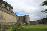
The castle sits atop Castle Hill, an intrusive crag, which forms part of the Stirling Sill geological formation. It is surrounded on three sides by steep cliffs, giving it a strong defensive position.
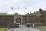
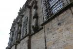
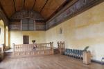
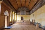
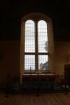
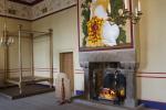
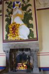
Its strategic location, guarding what was, until the 1890s, the farthest downstream crossing of the River Forth, has made it an important fortification from the earliest times. Most of the principal buildings of the castle date from the fifteenth and sixteenth centuries. A few structures of the fourteenth century remain, while the outer defences fronting the town date from the early eighteenth century.
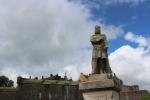
Several Scottish Kings and Queens have been crowned at Stirling, including Mary, Queen of Scots, in 1542. There have been at least eight sieges of Stirling Castle, including several during the Wars of Scottish Independence, with the last being in 1746, when Bonnie Prince Charlie unsuccessfully tried to take the castle.
Stirling Castle is a Scheduled Ancient Monument, and is now a tourist attraction managed by Historic Scotland.
The twenty closest neighbours in the database:
Doune Castle (9 km), Falkirk Wheel (15 km), Glasgow (Scotland) (35 km), Edinburgh (Scotland) (49 km), New Lanark (52 km), Inveraray Castle (71 km), Culzean Castle (100 km), Balmoral Castle (111 km), Alnwick Castle (161 km), Fort George (Highland) (162 km), Blackpool (United Kingdom) (262 km), York (United Kingdom) (302 km), Liverpool (United Kingdom) (308 km), Manchester (United Kingdom) (314 km), Boyne Valley: Newgrange, Knowth and Battle of the Boyne (315 km), Dublin (Ireland) (343 km), Llangollen (United Kingdom) (355 km), Chatsworth House (355 km), Lincoln (United Kingdom) (389 km), Clonmacnoise Monastery (405 km)